International Hydrography Organization and naming of underwater features in the Indian Ocean
The International Hydrographic Organization (IHO) is an intergovernmental organization that was established in 1921 to promote cooperation among nations in the field of hydrography and nautical charting. The IHO's main objective is to ensure that all the world's navigable waters are surveyed and charted to modern standards [1]. The IHO is responsible for developing and promoting global standards for hydrographic surveys and nautical charting, as well as for encouraging the dissemination of hydrographic information and the development of related technologies. The organization works closely with national hydrographic offices, maritime organizations, and the scientific community to achieve its goals. The IHO is headquartered in Monaco and has over 88 member states, representing virtually all the world's coastal states [2].
Importance of Hydrography Surveys:
Hydrography surveys are crucial in ensuring safe navigation and maritime activities in oceans, seas, and coastal waters. These surveys involve the measurement and mapping of underwater features such as the depth, shape, and composition of the seafloor, as well as water currents and tides. They also provide essential data for the production of accurate nautical charts, which are used by mariners to navigate and avoid hazards. Hydrographic data also informs the management of marine resources, including fisheries and oil and gas reserves, and supports environmental conservation efforts such as coastal zone management and marine spatial planning [3]. One of the primary reasons why hydrography surveys are essential is to ensure navigational safety. Accurate and up-to-date information about water depths, tides, currents, and the seafloor can help mariners avoid hazards such as shoals, rocks, and wrecks, which can cause accidents and damage to vessels.
The International Maritime Organization (IMO) and national maritime authorities require ships to carry nautical charts that meet specific standards, which are produced using hydrographic data. The IMO's International Convention for the Safety of Life at Sea (SOLAS) requires member states to survey, chart their waters and update those charts to ensure safe navigation [4]. Another important application of hydrography surveys is the management of marine resources. Accurate hydrographic data is critical for the exploration and exploitation of offshore oil and gas reserves, as well as for the management of fisheries and other marine resources. Hydrographic surveys can also help identify areas of the seafloor that are rich in minerals, such as manganese nodules, and support efforts to develop deep-sea mining.
Hydrographic surveys are further essential for environmental conservation and management. Accurate data on the seafloor and water column can help identify sensitive habitats and areas of high biodiversity, which can inform marine spatial planning and conservation efforts. Hydrographic data can also support the monitoring and management of water quality, particularly in coastal areas where human activities can have a significant impact on the marine environment. Without this data, maritime activities would be significantly riskier, and marine resources and habitats would be poorly managed. The importance of hydrography surveys has been recognized by international organizations such as the IMO and the International Hydrographic Organization, which have established standards and guidelines for surveying and charting the world's waters.
Strategic significance of hydrographic data:
Hydrographic data is critical information about the physical characteristics and conditions of the ocean and seabed. Its importance is strategic in various fields, such as navigation, resource exploration, environmental protection, and military operations. Navigation heavily relies on accurate hydrographic data, including water depth, currents, and tides, to ensure the safe travel of ships, especially large vessels. Poor data can lead to costly incidents like collisions and grounding. In this regard, hydrographic data comes off more important in identifying and naming the unnamed features in water bodies. This ensures proper maritime domain awareness and knowledge of the sea that any naval vessel, either military or civilian requires for efficient and safe maritime operations.
Moreover, hydrographic data is essential in resource exploration, as it helps identify areas with natural resources, such as oil, gas, minerals, and fish stocks. For instance, the Indian Ocean has vast reserves of oil and gas, and the accuracy of hydrographic surveys is crucial to discover the most profitable regions for exploration. It can also be used in designing offshore structures, like wind turbines and oil rigs. Additionally, hydrographic data also plays a crucial role in environmental protection. Accurate data is critical in managing sensitive ecosystems and identifying areas of ecological importance. In the Indian Ocean, hydrographic surveys have helped discover regions of high biodiversity, which is significant in marine conservation efforts. Additionally, hydrographic data is vital in analyzing the impact of human activities, such as shipping, fishing, and oil exploration, on the marine environment.
In military operations, hydrographic data is strategically significant as it aids in submarine navigation and the design of underwater vehicles. Accurate water depth and topography data is vital in developing anti-submarine warfare capabilities and identifying potential areas for submarine deployment. For example, China has conducted several hydrographic surveys in the Indian Ocean, which might improve the survivability of their submarines in the region.
Hydrography surveys in the Indian Ocean:
The North Indian Ocean Hydrographic Commission (NIOHC) was founded in 2002 with initial members including Bangladesh, India, Myanmar, Sri Lanka, Thailand, and the UK. The commission's aim is to enhance navigational safety across the northern region of the Indian Ocean, spanning from the Andaman Seas to the Gulf of Aden (excluding the Gulf of Oman area). With a significant amount of maritime traffic passing through the area, the NIOHC plays a critical role in ensuring the safety of mariners. The commission's first meeting, chaired by Rear Admiral KR Srinivasan, AVSM, was held in Dehradun, India, from 31 January to 03 February 2002. The main objectives of establishing the NIOHC include promoting cooperation in hydrography, establishing regional ENC coordination, conducting joint hydrographic surveys in poorly surveyed areas, and coordinating hydrographic resources in the region [5].
The Indian National Hydrographic Office (INHO) is situated in Dehradun and is the sole national authority responsible for the publication of nautical charts and other navigation-related materials for sea travel. As part of its international duties, the office provides coverage for Maritime Safety Information (MSI) in NAVAREA VIII, which includes the Indian Ocean, Arabian Sea, and Bay of Bengal regions. The department owns a fleet of six advanced ocean-going survey ships and a twin-hulled catamaran survey vessel equipped with the latest hydrographic and oceanographic sensors. Four new survey vessels are under construction, featuring modern survey equipment and extended reach capabilities to support hydrographic cooperation in the region. These vessels will be capable of conducting prolonged-duration surveys.
The INHO conducts hydrographic surveys both nationally and internationally. At the national level, they update existing charts of the Indian coast and island territories by conducting an average of 45 navigation and defense surveys each year. They have also completed eight navigation surveys in the countries of the Indian Ocean Region since the last report. The Department is also engaged in conducting deep sea surveys using Multibeam in the Arabian Sea and Bay of Bengal to update charts/ENCs with the latest data. The INHO is a pioneer in utilizing modern and advanced surveying equipment/technologies. They have commissioned two AUVs that have been successfully deployed onboard Catamaran hull survey vessels over the past three years. The Department has developed in-house skills for data collection and processing and has adopted the latest software for data acquisition, quality control, and chart production. They have set up a core team to monitor the progress on S100 product specifications (PS) and to implement the action plan for migration to S100 PS [6].
Hydrography surveys by China in the Indian Ocean:
In 2021, the Xiang Yang Hong 03, a Chinese survey vessel working in the Indian Ocean, caused controversy by not broadcasting its location while in Indonesian waters. However, this is just one part of China's broader effort to map the seabed in a large portion of the Indian Ocean. Data from ship tracking shows that this was not the first time the Xiang Yang Hong 03 has been in the area, and that other Chinese survey vessels were involved as well. The surveying activity covers a vast area of approximately 500,000 square kilometers and appears to be expanding. While the ships are likely engaged in civilian research, they may also be collecting information for naval purposes. Over the past few years, four of China's research vessels, named Xiang Yang Hong (which translates to 'Facing the Red Sun'), have been very active. These ships are operated by the State Oceanic Administration and are relatively new, having been built within the last ten years. This suggests that China places great importance on its fleet of survey ships. Two of these vessels, the Xiang Yang Hong-01 and -16, have been systematically searching the Ninetyeast Ridge, an underwater mountain range in the East Indian Ocean. They have been using a high-resolution side-scan sonar while following a disciplined racetrack pattern, which indicates that they are mapping the seabed [7].
These ships have made multiple trips, with each one starting where the other one finished. Although the survey ships may not have an explicitly military objective, the information collected is likely to be of significant interest to the People's Liberation Army Navy (PLAN). Ocean survey data can be valuable for both military and civilian purposes. China has been meticulously mapping large areas of the Indian Ocean, with a particular focus on surveying the Ninetyeast Ridge [8]. The range is especially relevant for submarine operations, which may explain why China is paying close attention to it. These maps could be strategically significant in enhancing the survivability of Chinese submarines if they increase their activity in the Indian Ocean.
The increased number of Chinese state-operated hydrographic ships and survey vessels may facilitate the future deployment of Chinese submarines in the Indian Ocean. Unlike the West Pacific, where the movements of PLAN submarines are closely monitored by ASW ships from the US Navy and Japan Maritime Self-Defense Force, Chinese submarines can operate relatively safely in the Indian Ocean [9]. However, undetected navigation through choke points remains a major challenge for PLAN submarines entering the Indian Ocean. The Djibouti support base could help overcome this problem, and Beijing's next likely move may be to deploy submarines to this base, expanding its influence in the region.
China's growing naval presence in the Indian Ocean, including the naval base in Djibouti and the increasing number of PLAN ships, submarines, and research vessels, is a cause for concern for India. It not only challenges India's regional influence but also raises security risks when Chinese vessels operate near Indian shores.
Role played by the IHO in naming unnamed features of the Indian Ocean:
One of the key responsibilities of the IHO is to maintain the International Hydrographic Geospatial Standard (IHGS), which provides guidelines for the standardization of the names of undersea features, such as mountains, valleys, and ridges.
The IHO has a specific commission called the GEBCO Sub-Committee on Undersea Feature Names (SCUFN), which is responsible for the approval and standardization of undersea features’ names [10]. SCUFN works in collaboration with national authorities and the wider scientific community to develop and maintain a comprehensive gazetteer of undersea feature names that is used by navigators, scientists, and researchers around the world. In the Indian Ocean, the IHO and SCUFN have played a crucial role in the naming of undersea features, such as the Ninety East Ridge and the Chagos-Laccadive Ridge. The names are based on guidelines set out in the IHGS. The guidelines emphasize on the use of local names wherever possible and the avoidance of names with political or commercial connotations.
Conclusion:
The importance of the IHO's work in promoting safe navigation cannot be overstated. Accurate hydrographic data is essential for ensuring that ships can navigate safely and avoid incidents such as collisions, groundings, or damage to underwater structures. The organization's efforts have contributed to improved safety at sea and a reduction in maritime accidents. In addition to its role in promoting safe navigation, the IHO also plays a crucial role in marine science. Accurate hydrographic data is essential for understanding and managing marine ecosystems, including identifying areas of ecological significance and assessing the impact of human activities such as fishing, shipping, and oil exploration. The IHO's work in promoting the exchange of hydrographic data between countries helps to facilitate scientific research and collaboration.
With the Indian Ocean becoming a site of increased naval operations by China, it is likely that PLAN would have a strategic incentive for collecting as much as hydrographic data as possible. Such scenario is likely to create subsequent reactions by other states like USA, Japan, and India to enhance their surveillance and domain awareness. In this regard, the IHO being an intergovernmental and bipartisan entity, through its mandate can bring more regional cooperation among states in providing hydrographic data on unnamed features of the Indian Ocean.
Endnotes:
1. About IHO, International Hydrographic Organization, https://iho.int/en/about-the-iho
2. Member States, International Hydrographic Organization, https://iho.int/en/map-of-member-states
3. Importance of Hydrography, International Hydrographic Organization, https://iho.int/en/importance-of-hydrography
4. International Convention for the Safety of Life at Sea (SOLAS), 1974, International Maritime Organization, https://www.imo.org/en/About/Conventions/Pages/International-Convention-for-the-Safety-of-Life-at-Sea-(SOLAS),-1974.aspx
5. North Indian Ocean HC, International Hydrographic Organization, https://iho.int/en/north-indian-ocean-hc
6. National Report. National Hydrographic Office India, International Hydrographic Organization, 2021 https://iho.int/uploads/user/Inter-Regional%20Coordination/RHC/NIOHC/NIOHC20/NIOHC20_2021_10.1c_EN_India_National_Report_v2.0.pdf
7. H. I. Sutton, Chinese Ships Seen Mapping Strategic Seabed In Indian Ocean, Naval News, 22 January 2021 https://www.navalnews.com/naval-news/2021/01/how-china-is-mapping-the-seabed-of-the-indian-ocean/
8. H. I Sutton, Two Chinese Survey Ships are Probing a Strategic Section of the Indian Ocean, USNI News, 23 March 2021 https://news.usni.org/2021/03/23/two-chinese-survey-ships-are-probing-a-strategic-section-of-the-indian-ocean
9. Prakash Panneerselvam, China’s Emerging Subsurface Presence in the Indian Ocean, The Diplomat, 03 December 2023 https://thediplomat.com/2022/12/chinas-emerging-subsurface-presence-in-the-indian-ocean/
10. Undersea Feature Names, General Bathymetric Chart of the Ocean, https://www.gebco.net/data_and_products/undersea_feature_names/
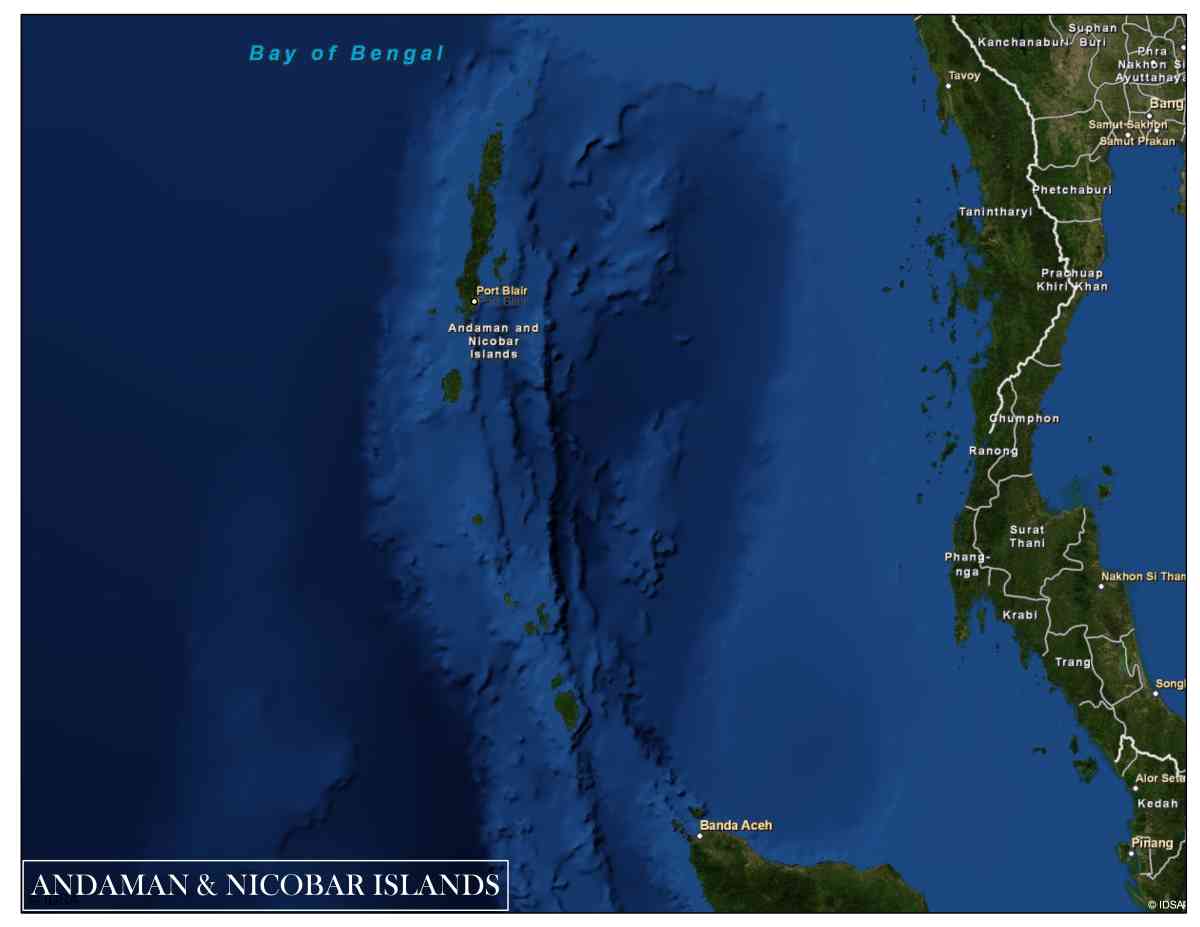
Pic Courtsey-IDSA GIS Lab
(The views expressed are those of the author and do not represent views of CESCUBE.)